Kimolos

Kimolos is a small island of a pentagon shape at the southeast Aegean that lies between Milos and Sifnos.
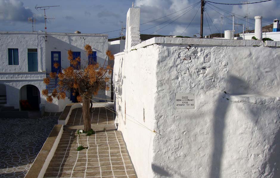
The island covers an area of 38 sq. km and stands at a distance of 88 nautical miles from the port of Piraeus. The capital is Chora, with white Cycladic houses clustered around the castle.
The island is quite hilly and its higher peak, Paliokastro stands in the middle of the southwest shore. Its inhabitants are occupied with the shipping, the agriculture and the extraction of kimolia gi (earth’s chalk).
According to mythology, the island was named after Kimolos, Sidis’ husband, Tavros’ daughter. Later it was named Echinousses.
The island did not take its own course in history, as it had followed Milos’ destiny. It was a vassal state of Athens. During Frangkokratia, Markos Sanoudos united Kimolos with the Duchy of Naxos (1207). Later it was occupied by the Turks and during the Russo-Turkish war (1770-1774), by the Russians. After the liberation, it became a part of the Greek state.
Information
Access-Transportation
By Ship
From Piraeus port and Milos
Kimolos port authority 0030 22870 51071
Piraeus port authority 0030 213 2147600
Milos port authority 0030 22870 23360
By plane
Nearest airport in Milos
Useful
Area: 38 sq. km
Capital: Kimolos
Kimolos municipallity belongs to the administrative district of Milos (Cyclades prefecture – South Aegean Region).